
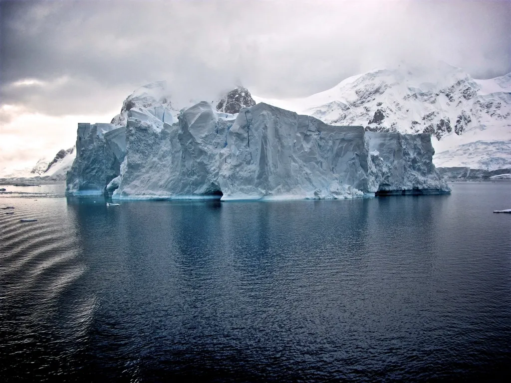

Antarctica’s Thwaites Glacier, nicknamed the “Doomsday Glacier,” could add up to 30 millimeters (about 1.2 inches) to global sea level by 2100, according to a new modeling study. That is roughly double what earlier projections suggested.
The work, published in Nature Communications, comes from researchers at the University of California, Irvine and NASA’s Jet Propulsion Laboratory. Their main change is to how the model treats the place where the glacier lifts off the seabed.
What the Researchers Changed
Most ice-sheet models treat the “grounding line,” where ice stops resting on bedrock and begins to float, as a thin, sharp boundary. The new study replaces it with a grounding zone several kilometers wide, where warm seawater can seep underneath the ice.
The team backed that choice with satellite radar data from the company ICEYE. It showed the ice flexing with the tides across several kilometers of the zone, which a sharp line would not allow.
They then compared the model with more than two decades of observations. According to the researchers, it reproduced the glacier’s changes from the 1990s to today, which were four times more pronounced than conventional models predicted.
The Numbers
- Up to 30 mm (1.2 inches) of global sea-level rise from Thwaites by 2100, double earlier projections.
- A 60% chance that the glacier detaches from the Mouginot Ridge, an underwater feature currently helping to hold it in place, by 2100. That figure applies to a scenario with a grounding zone 4 to 6 kilometers (about 2.5 to 4 miles) wide.
- About one third of Antarctica’s ice loss comes from the Amundsen Sea Embayment, the region where Thwaites sits.
Lead author Mattia Poinelli said the glacier’s main trunk is being “temporarily stabilized” by the Mouginot Ridge. Co-author Eric Rignot said that most projections so far have struggled to match how fast the ice is actually being lost because of “missing physics.” The release says the added rise could occur even without further global warming.
The Catch
These are model projections, not measurements. The 30 mm and 60% figures depend on the modeling assumptions and, for the 60% figure, on the 4-to-6-kilometer grounding-zone scenario. “Twice as much” also compares the new model with earlier ones; it is not a new observation of sea level.
The coverage we read comes from a university press release, and it does not describe independent reviews or how rival models would respond. Expect other glaciologists to test the approach.
Why It Matters to U.S. Readers
An extra inch from one glacier sounds small, but sea-level rise is a global average that adds to the effects of storm surge and high tides on coasts from Florida to the Gulf and the Northeast. Better models of how Antarctic ice behaves feed the projections that coastal planners rely on. If the physics in this study holds up, those projections may need to shift upward.
Earth science keeps turning up surprises beneath the surface, as in this recent report on hydrogen that may be leaking from Earth’s core.
More on Contoh
- Earth’s Core May Be Leaking Hydrogen Into the Mantle, a New Study Suggests
- Alaska’s Record-Size Tsunami Left Warning Signs. Scientists Say a Monitoring System Could Have Helped